Les 7 Laux Refuge

  • Refuge
Elevation : 2135m
La Ferrière, 38580 Haut-Bréda
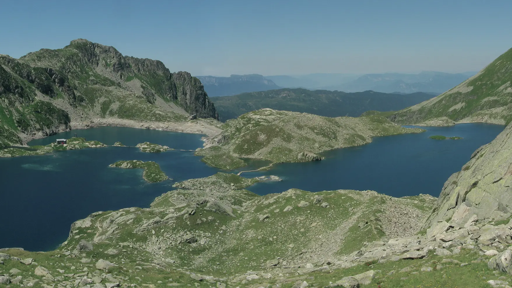
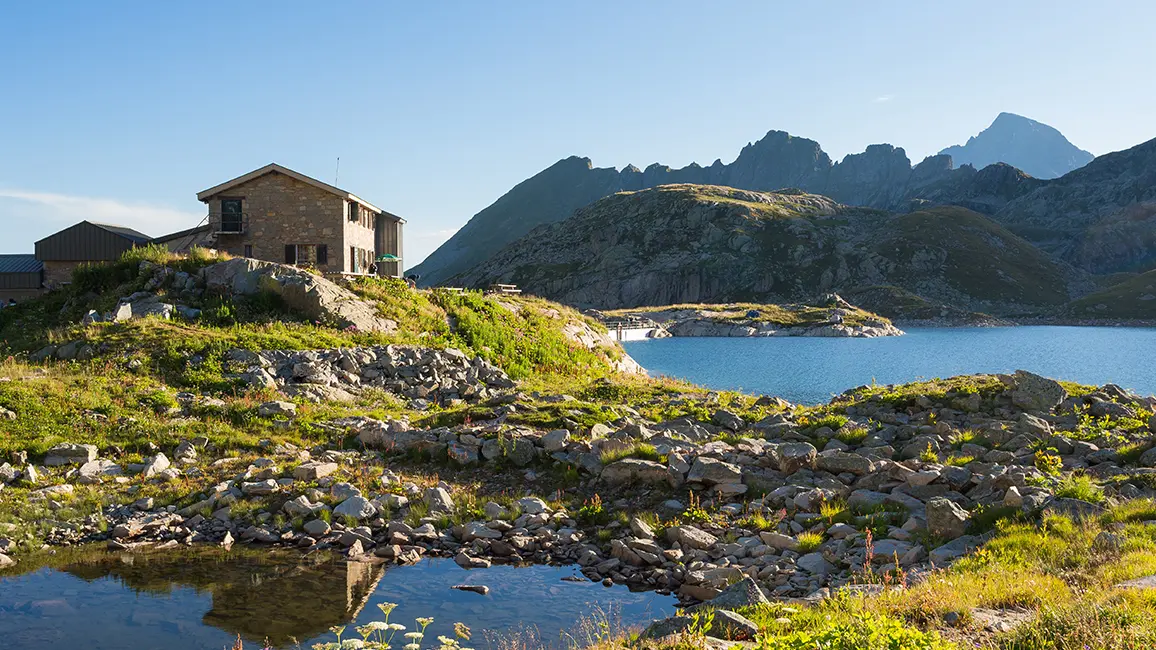
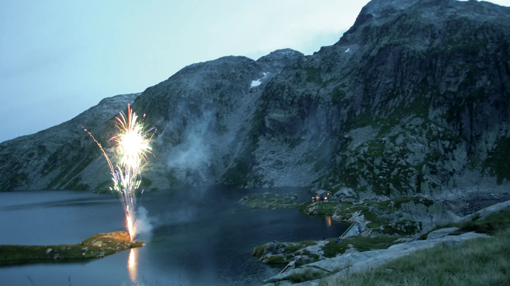
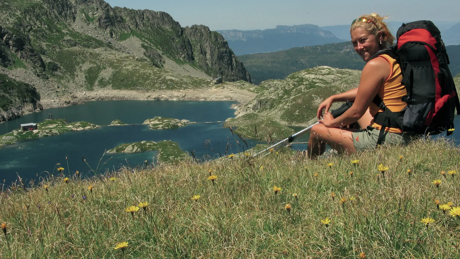
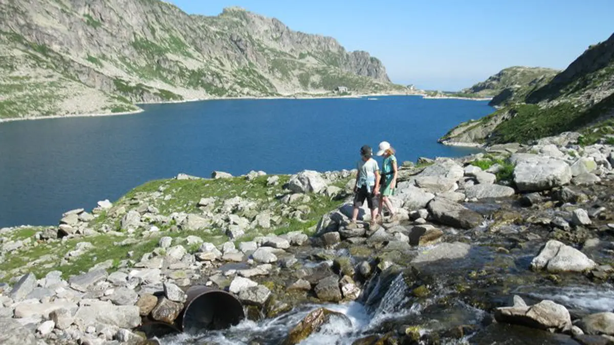
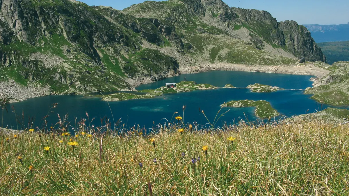
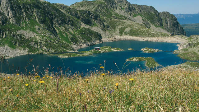
The Les 7 Laux refuge sits on an island at an altitude of 2,135 m, surrounded by the Rocher Blanc and the Pic de la Belle Etoile, and the clear blue waters of 12 mountain lakes.
Getting there : By Belledonne, two routes are possible among others to access the refuge: Fond de France or Le Pleynet. After Allevard les Bains, direction Fond de France or Le Pleynet. At Fond de France, the trail starts in the car park next to the gîte l’Essentiel. At Le Pleynet take the forest road at the end of the car park (the one up).
High gain : 1100
Walking time : 4 to 5h
Ease of access : difficult
IGN map : n°3335 ET

Services

Services

Pedestrian sports
Hike on foot
Climbing sports
Climbing
Heating
Bunk beds
kitchen corner
Hand wash basins with hot water
Hand wash basins
Duvet
Covered picnic area
Board games

Documentation

Documentation

Payment methods

Payment methods

Payment methods

CheckCheck
CashCash

Capacity

Capacity

36 Person(s)

Openings

Openings

From 1 June 2025 until 1 October 2025 - Open everyday

Dates to be confirmed
Subject to snow conditions

Location

Location

Les 7 Laux Refuge
Elevation : 2135m
La Ferrière, 38580 Haut-Bréda

Environment

Environment
  • Lakeside or by stretch of water
  • Mountain location
  • High mountain

Access

Access
  • Reach the beginning if the trail:
    Access by car : from Le Pleynet (Sept-Laux)
    Access by public transport : Transisère 6200 from Grenoble to Allevard then bus G22 until Fond France.
Updated on 12 April 2025 at 18:04
by Office de Tourisme de Belledonne Chartreuse
(Offer identifier : 211700)
Report mistake